


SALT LAKE CITY — At least one more dose of winter is headed to Utah’s mountains while the state’s snowpack melts.
The National Weather Service issued a winter storm watch for the southern mountains, which could receive up to a foot of snow or more at its highest points by Friday night, as an incoming storm will impact that region the most. Still, other mountain ranges in the state could pick up decent totals over the next few days.
“(It’ll be) a good dose of water for our state,” said KSL meteorologist Matt Johnson
Storm timing
After a lull in storm activity, a pair of low-pressure systems — one in Canada and another off the Pacific Coast on Wednesday — are on a collision course in Utah, factoring into rain and snow in the forecast, Johnson explains. The Pacific system is milder, with more moisture associated, while the Canadian system is colder and drier overall.
“They’ll meet up (on Thursday),” he said.
A few scattered showers are possible across the state Wednesday afternoon before they link up, but those aren’t expected to produce much accumulation. More organized precipitation is expected early Thursday as a cold front arrives from the north, producing valley rain and mountain snow across the Wasatch Front, which could linger into the morning commute.
The heavier band of moisture will move into central and southern Utah by the afternoon, as the cold front continues moving south. The heaviest showers are expected in southern Utah by Thursday night, while some lingering showers are possible in northern Utah behind the cold front.
More scattered showers are forecast throughout the day on Friday, potentially leading to some valley snow across most of the state at times before the storm clears out during the weekend.
Storm accumulations
The winter storm watch advises that 4 to 10 inches of snow could fall in the southern mountains between Thursday morning and Friday evening, but “locally higher” totals of 12 to 15 inches are possible in the Boulder Mountain area and the Tushar range within the region.
National Weather Service models show high variability across other mountain ranges. For example, northern mountain ranges are expected to get 3 to 8 inches of snow, but places like Alta still have about a 40% probability of receiving another foot of snow if the right conditions emerge as the two systems collide.
THURSDAY – FRIDAY: Our 2-day storm will bring statewide valley rain and mountain snow. #utwx
Wasatch Front: .10-.50″
Central Utah: .20-.60″
Southern Utah: .25-.75″
St. George: .10-.25″Northern Mtns: 3-8″
Cottonwoods: 4-10″
Central Mtns: 4-10″
Southern Mtns: 6-12″+ pic.twitter.com/FVBgqAd6KP— Matthew Johnson (@KSL_Matt) April 16, 2025
Similar variability is possible in the valleys, Johnson adds. KSL Weather models indicate that valleys across the state could receive anywhere from 0.10 to 0.70 inches of precipitation by the end of Friday, most of which will fall as rain.
Meanwhile, Utahns will also notice much cooler temperatures. Highs across the Wasatch Front may only top out in the low- to mid-50s on Thursday and Friday after Wednesday’s high in the low 70s. Highs near St. George are expected to drop from the low 80s on Wednesday to the low 60s by Friday before the next warmup.
A ‘desired process’
The incoming storm could produce some tricky traveling conditions, especially across mountain passes, but it’s good news for water managers during the spring snowpack runoff.
Utah’s statewide snowpack peaked at 14.3 inches of snow water equivalent on March 23, leaving it at 89% or 100% of the season normal, depending on different metrics. It received another decent boost during the first week of April, but it has sharply declined since. About one-third of the peak total has already melted, per federal data.
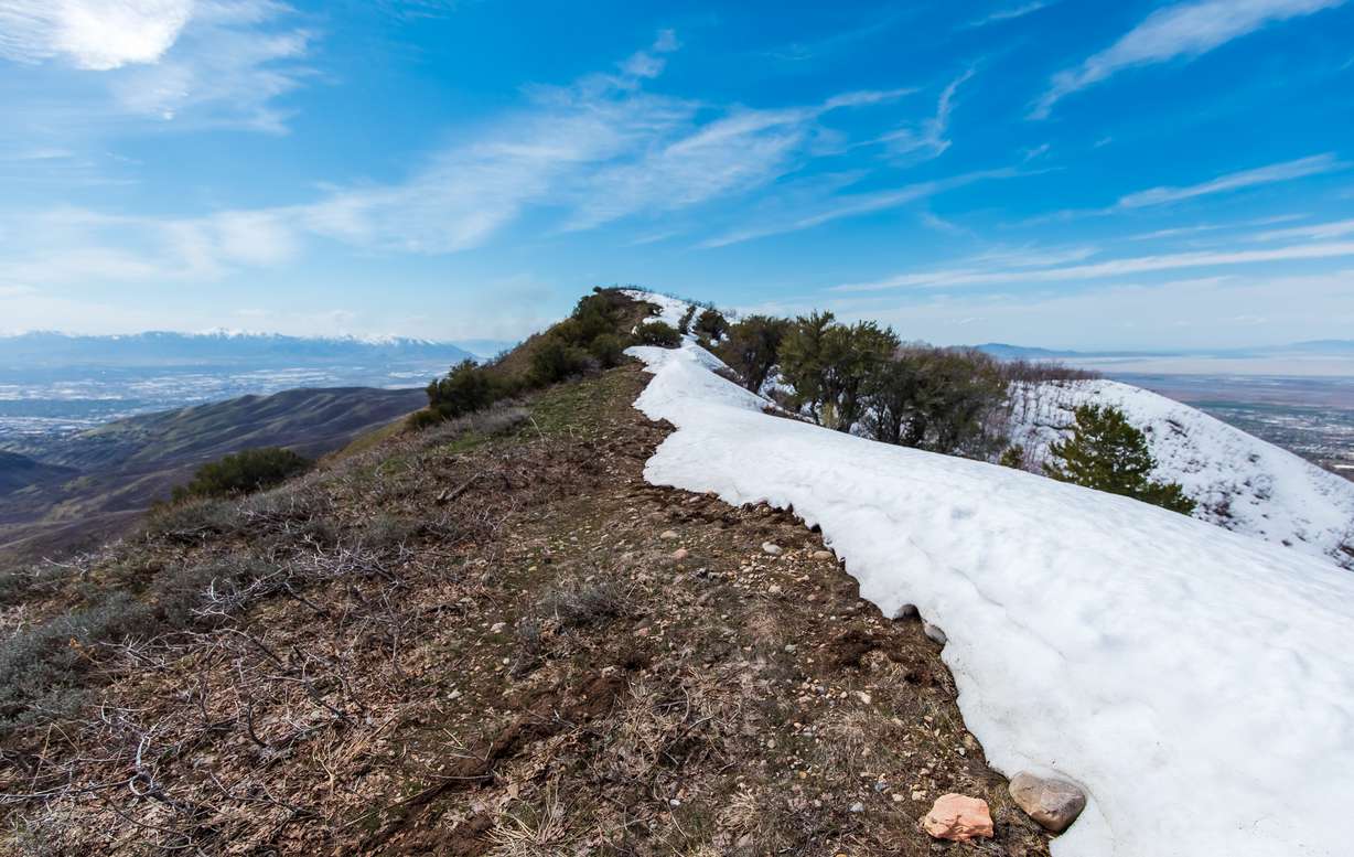
Additional spring storms bring additional snowpack to the state, but they also help slow down the melt and spread out the snowmelt distribution. It creates a “stair-step pattern” in snowpack graphs that experts prefer to see, said Bob Thompson, Salt Lake County’s watershed manager.
“This is the best-case scenario,” he explained, providing an update on snowmelt to county leaders on Tuesday. “We love it when that stair-step happens because it prolongs the runoff event, it provides more water for plants, animals and reservoirs — all of it. This is the desired process.”
It’s unclear how many more spring storms will help provide this process. Johnson said another storm is possible across Utah’s northern half at the start of next week, while long-range outlooks project slightly higher probabilities for near-normal to above-normal precipitation to close out the month.
But three-month outlooks, provided by the National Weather Service Climate Prediction Center, also list Utah as having higher probabilities for drier and warmer conditions toward the end of spring.
Full seven-day forecasts for areas across Utah can be found online, at the KSL Weather Center.
The Key Takeaways for this article were generated with the assistance of large language models and reviewed by our editorial team. The article, itself, is solely human-written.

